Saving Water Through Space
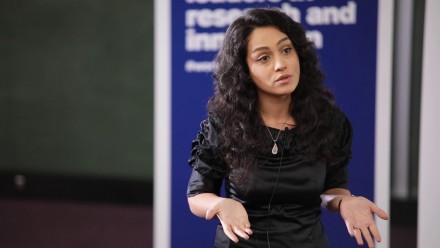
When Dr Mahdiyeh Razeghi started her undergraduate degree in Iran, little did she know that she would go on to pioneer a niche area of groundwater evolution study in Australia.
World Water Day has given her pause to reflect on her time studying the substance that is critical to all life on Earth.
Growing up, Mahdiyeh always relished time spent in nature, a respite from the bustling concrete metropolis that was her home-city of Tehran. Her love of the outdoors in part inspired her to undertake a bachelor’s degree in Geomatic Engineering, involving much time outside doing field work.
With a Master’s degree and PhD later, and a new home on the other side of the world, Mahdiyeh now nurtures a passion for geodesy - the science of measuring the Earth's size, shape, orientation, mass distribution and how these aspects vary with time.
“I loved this field because it is totally related to what is happening to Earth, and this knowledge is especially important now during the era of climate change,” Mahdiyeh says.
“Now is the time to see and understand what the data is telling us about how Earth is changing, particularly in regards to our water resources. These geodetic satellite data sets are key to getting an accurate picture of this information. Based on that, we can plan the best course of action.
“How to monitor fresh water and improve water resilience is an extremely timely topic. Here in Australia, we often rely on groundwater due to our dry climate. This means we absolutely need a resilient groundwater management approach for agriculture, industry and ecological stability.
“Geodetic data sets give us the data, but then it’s on us to attribute it to different events or reasons, such as flooding or aquifer change. It depends on which location we are talking about, which geography we are facing and which materials we are working with. This element makes it a really fascinating area of study.”
Mahdiyeh completed her PhD at the University of Newcastle under the supervision of acclaimed geodetic scientist Professor Shin-Chan Han. She then held a postdoctoral position at the ANU Research School of Earth Sciences with Professor Paul Tregoning where she worked on the application and interpretation of NASA’s Gravity Recovery and Climate Experiment (GRACE) data for groundwater storage changes in the Great Artesian Basin.
Now a research fellow at the ANU Institute for Water Futures, Mahdiyeh specialises in combining geodetic satellite data sets with in-situ observation to study groundwater evolution. She is one of the first scientists in Australia to use this approach.

“Combining satellite data sets with in-situ observation not only provides comprehensive information about the groundwater from both space and underground, but also improves the accuracy, both in spatial and time domain,” Mahdiyeh says.
“This way of studying groundwater evolution has been undertaken in the USA and Europe for some time, but is completely new in Australia. Given Australia’s abundant groundwater well density, this method makes the study of groundwater evolution simpler and with more accurate results and has great potential to be rolled out nationally. We need observation from both satellites and underground to get the full information of what is happening to our aquifers.”


